198x129mm, 256 pages, Paperback
ISBN: 978-1-908531-79-7 Price: £17.50 Available
|
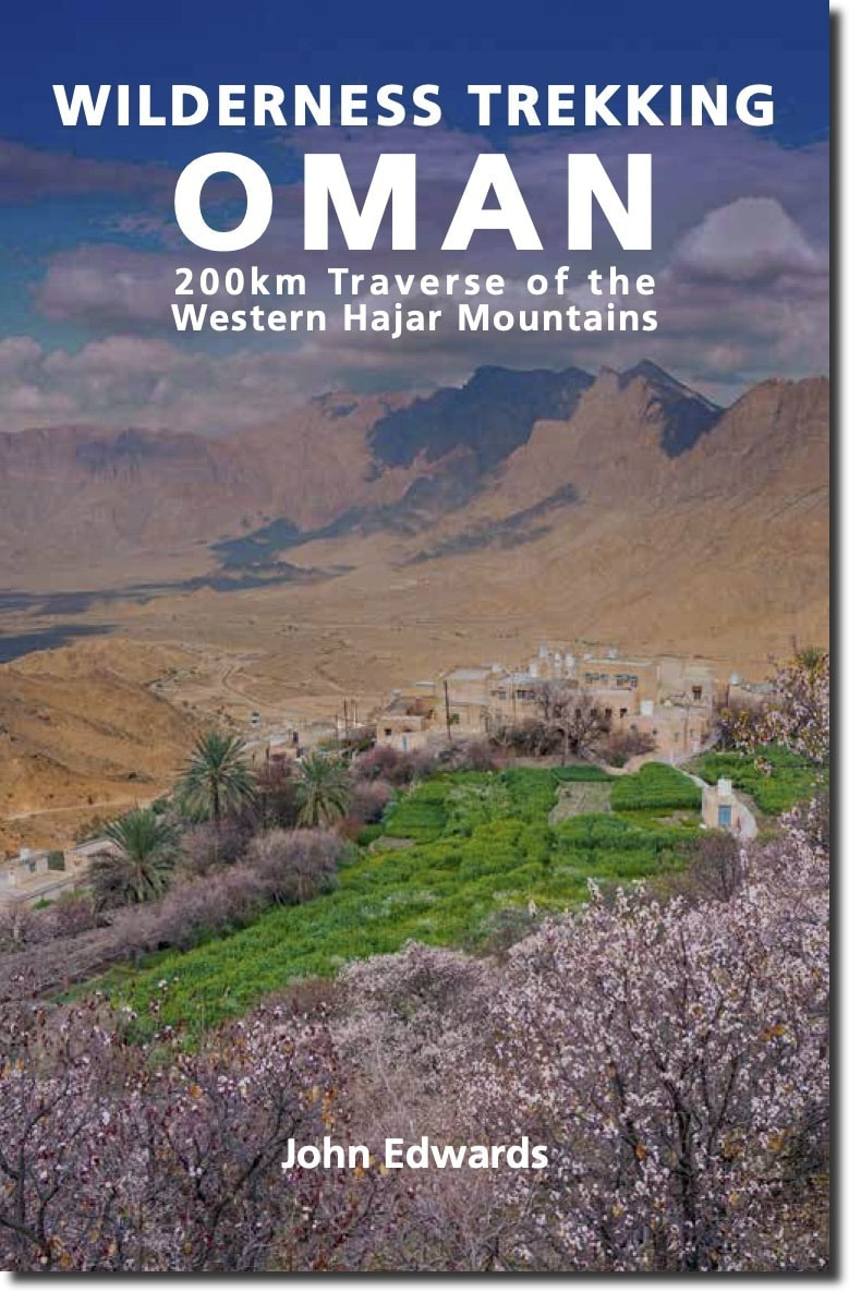
Wilderness Trekking Oman
Jonathan Edwards 200km Traverse of the Western Hajar Mountains
The Hajar Mountains rise up from the great central deserts of the Arabian plateau - the so called Empty Quarter - and then look down to the coastal plain that runs into the waters of the Gulf of Oman. Beautiful and remote, often almost entirely inaccessible, these harsh rocky slopes with their breathtaking views of Oman are largely unexplored.
Wilderness Trekking in Oman is a practical guide for hiking in the Western Hajar, following some 200km of mountain trails. Meticulously researched and presented with detailed original cartography, this comprehensive guide is the key to discovering a remarkable landscape. The mountain traverse follows the spine of the mountains in a point-to-point walk taking sixteen days which can be broken down into eight one-day walks, two two-day walks and one four-day walk. There is a road intersection with a village or hotel between each of these eleven sections. The traverse climbs to the highest accessible peak in the country at 2999m and finishes in remote dry valleys, called wadis, where impregnable cliffs have precluded road construction and electricity transmission. This has preserved the Arabian mountain lifestyle that has existed for centuries. This book describes where to go, what to carry, where to sleep and, most importantly, where to find drinking water. Some hikers may choose to be supported by friends meeting them in a 4WD vehicle at road intersections marking the end of each section. For their benefit this book includes excursions at eight of these ten rendezvous points. There are other possibilities for resupply at all ten road intersections. Digital data for download comprises GPS tracks, waypoints, kmz map files and PDF files of each chapter. A folded 1:50,000 map covering 607km of side tracks and the traverse can be purchased separately. Hikers who have completed part or all of this traverse are invited to post reviews on social media accessible from www.hajarhiking.com, where there are historical photographs and video recorded on parts of this traverse in 1992 when there was only one road in the entire mountain range
|

About the Author
John Edwards lived in the Sultanate of Oman with his family from 1991 to 1994 and from 2002 to 2014, spending most winters exploring Al Hajar Al Gharbi to the west and Al Hajar Ash Sharqi to the east of his home in Muscat. This is his first book sharing these adventures with fellow hikers, and he plans to develop his coverage further to write about Jabal Kawr and Al Hajar Ash Sharqi. |


CONTENTS
Introduction § Preparation § Journey § Nature § Culture § Irrigation § History § Day by Day for sixteen days, with two options § Side tracks
Maps: Satellite image showing traverse route and two options § Overview map with traverse, options, side tracks and villages § Overview map with hotel locations § Overview map with remote water locations § Maps of historic migrations and ancient trade routes § Al Afyah to Hadash and Hadash to Wukan § Wukan to As Sawjrah § As Sawjrah to Ar Rus § Ar Rus to Ash Sharaf § Ash Sharaf to Misfat Al Abriyyin § High Option. Ash Sharaf to the Jabal Shams summit § Misfat Al Abriyyin to Hayl Ash Shas § Hayl Ash Shas to the Jabal Shams summit § The Jabal Shams summit to its plateau § The Jabal Shams plateau to Yisab § Yisab to Naqa Ar Ruways and Naqa Ar Ruways to Kurb § Al Marrat to Daan As Sanin § One-day Option. Al Marrat to Al Iqaybah § Daan As Sanin to Ghayl Shadhan and Ghayl Shadhan to Dar Ar Ruways and Dar Ar Ruways to Al Jammah.
Diagrams: Traverse Schematic § Table 1. Traverse Schedule § Table 2. Option of shorter high route to the summit § Table 3. Option of one day not four remote days to finish § Tables 4 and 5. Locations of drinking water § Table 6. Useful plants § Table 7. Summary of side tracks § Table 8. Hotels on traverse.